So, I've been doing lots of research for the new King-Cat, for an article on the Bridges of South Beloit. One Sunday in late May, I traveled around in intense heat to photograph the bridges for reference, and to look for any dates or other information I could find.
When I got to the two railroad bridges spanning Turtle Creek west of Blackhawk, I decided to trek into the woods to inspect the confluence where the creek empties into the Rock River. This was the original site of the Winnebago Indian village called The Turtle, named for the prehistoric turtle shaped mound there. After the Black Hawk War of 1832, the Indian village was deserted, and white men began to move in. In 1835 Joseph Tebo built a cabin there, near the confluence, and worked as a trapper, hunter, and trader. The area soon was sold to Caleb Blodgett, who began developing a town, first called Blodgett's Place, then, briefly, New Albany, which became known as Beloit in 1837.
This is where it all began.
Looking west from the south end of the Iowa, Chicago and Eastern Railroad bridge, one can catch a glimpse of the confluence through the trees.
A grove of smooth sumacs along the trail to the river.
The confluence, where Turtle Creek (right) flows into the Rock River.
Shirland Avenue bridge in Beloit, from the confluence.
I crossed over a muddy stretch on logs and wooden planks, onto what, in wetter times, would have been an island in the river. Above: looking southwest from the island.
Looking north again.
The island was densely wooded, with only a narrow, overgrown path to follow.
Presently, I came to the southern edge of the island.
I didn't know that rivers had mileage markers, too.
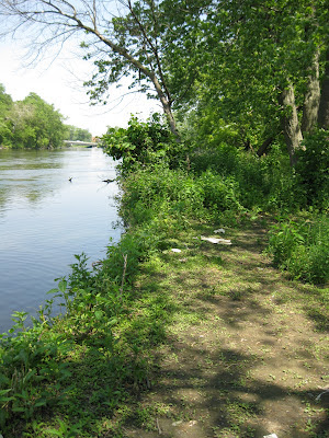
Looking back north to the island path, strewn with trash and the debris of fishermen.
The Shirland Avenue bridge again, with downtown Beloit visible in the distance.
I love Illinois.


